

Shadow Vet Drone Ops
Photos
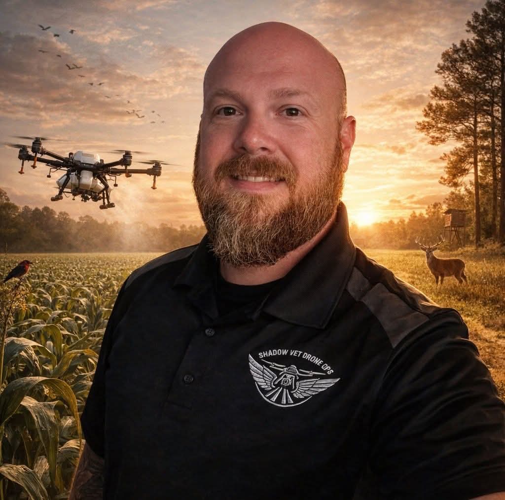
About Shadow Vet Drone Ops
Shadow Vet Drone Ops is a Mississippi-based, veteran-owned UAS company providing precision aerial application, spreading, mapping, and land-management support. Using the DJI Agras T50, we support pasture and hayfield management, targeted vegetation control, food plots, timber and cutover areas, drainage and right-of-way work, aerial seeding/fertilizer spreading, acreage measurement, and site documentation. We work with farmers, ranchers, landowners, contractors, and agricultural partners throughout Mississippi, focusing on GPS-guided, site-specific operations, difficult or inaccessible acreage, and jobs where drones can complement traditional ground rigs and agricultural aircraft.
Coverage area
Serves a ~160-mile radius from Florence, MS.
Simpson County · Copiah County · Rankin County · Hinds County · Madison County · Smith County · Lawrence County · Lincoln County · Jefferson Davis County · Scott County · Claiborne County · Warren County
More drone spraying nearby: Drone spraying near Florence · All Mississippi
Services & pricing
Typical rate $15–$18/acre. Final quote depends on acreage, product, and field access.
- Spraying
- Cover Crop Seeding
- Dry Spreading
- Aerial Mapping
- Crop Scouting
- drone spraying
- aerial spraying
- vegetation control
- liquid application
- granular spreading
- seed application
- fertilizer application
- approved product application
- spot treatments
- broadcast spreading
- aerial mapping
Equipment & capacity
Verified by Ag Drone Sprayers
- Part 107 remote pilot certificate
$15–$18/acre
Free quote · no obligation