
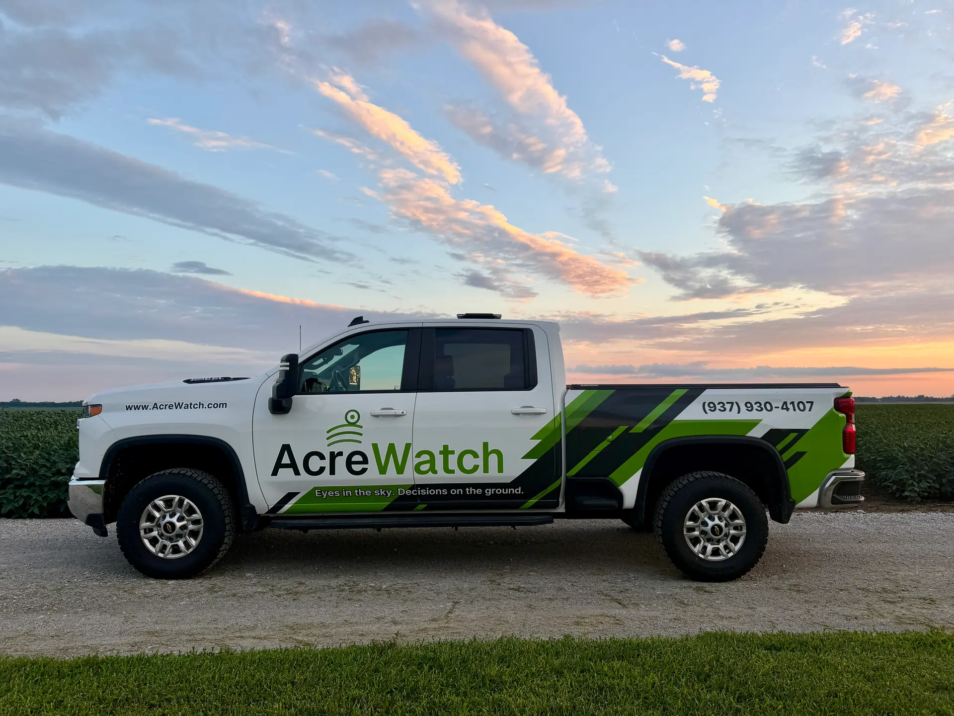
AcreWatch
Photos
About AcreWatch
AcreWatch pairs licensed, veteran remote pilots with field-flown and dock-based drones to monitor and service the land that feeds and powers the country. For farmers, that means season-long agronomy intel, precision application, and automated monitoring that cut input costs and protect every acre through the growing season. We find it, we treat it, we prove it worked.
Coverage area
Serves a ~250-mile radius from South Charleston, OH.
Clark County · Greene County · Fayette County · Madison County · Champaign County · Montgomery County · Clinton County · Miami County · Franklin County · Warren County · Pickaway County · Highland County
More drone spraying nearby: Drone spraying near South Charleston · All Ohio
Services & pricing
Typical rate From $15/acre. Final quote depends on acreage, product, and field access.
- Spraying
- Cover Crop Seeding
- Dry Spreading
- Aerial Mapping
- Crop Scouting
- crop and field analysis
- drone spraying
- land management
Equipment & capacity
Verified by Ag Drone Sprayers
- FAA Part 137 §44807 exemption on file
- Part 107 remote pilot certificate
From $15/acre
Free quote · no obligation