Carolina Crop Spray, LLC
Photos
About Carolina Crop Spray, LLC
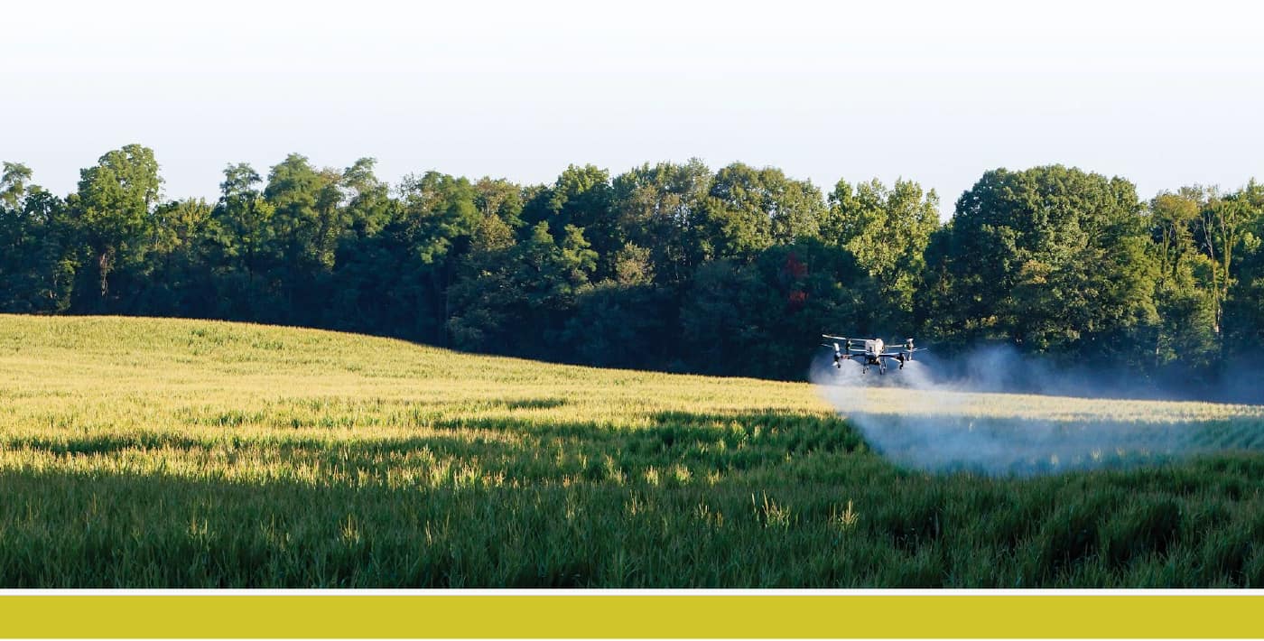
At Carolina Crop Spray, we combine advanced drone technology with professional expertise to help North Carolina farmers, businesses, and landowners protect their investments and make better decisions. Whether you need precision crop application, detailed aerial mapping, or high quality aerial photography, our mission is to deliver reliable service, accurate results, and exceptional value. We specialize in agricultural drone spraying, orthomosaic mapping, photogrammetry, aerial inspections, and professional aerial photography. Every mission is carefully planned to meet the unique needs of your property, crop, or project. By combining modern drone technology with precision flight planning, we can provide accurate applications and detailed aerial data while minimizing disruption to your operation. Drone technology has transformed the way agricultural and commercial services are performed. Unlike traditional ground equipment, drones can access fields with saturated soil, steep terrain, irregular boundaries, and difficult obstacles without causing soil compaction or crop damage. They also collect high resolution imagery that helps identify issues earlier, monitor progress over time, and support better management decisions. Safety, precision, and regulatory compliance are at the core of every flight. Carolina Crop Spray operates in accordance with applicable FAA regulations and North Carolina pesticide requirements, following established procedures for flight planning, application accuracy, documentation, and risk management. Every project is approached with professionalism, attention to detail, and a commitment to protecting your crops, your property, and the surrounding environment. Our goal is simple: provide dependable drone services that save time, improve efficiency, and deliver measurable value. (910) 400-8859 https://CarolinaCropSpray.com
Coverage area
Serves the area outlined on the map, around Wake Forest, NC.
More drone spraying nearby: Drone spraying near Wake Forest · All North Carolina
Services & pricing
Typical rate $10–$25/acre. Final quote depends on acreage, product, and field access.
- Spraying
- Aerial Mapping
- Crop Scouting
- drone crop spraying
- aerial seeding
- liquid fertilizer application
- herbicide application
- pesticide application
- fungicide application
- dry product spreading
- orthomosaic
- photogrammetry
- aerial crop health analysis
Equipment & capacity
Verified by Ag Drone Sprayers
- Part 107 remote pilot certificate
- $1M insured liability insurance
$10–$25/acre
Free quote · no obligation